RESISTING CARTOGRAPHY
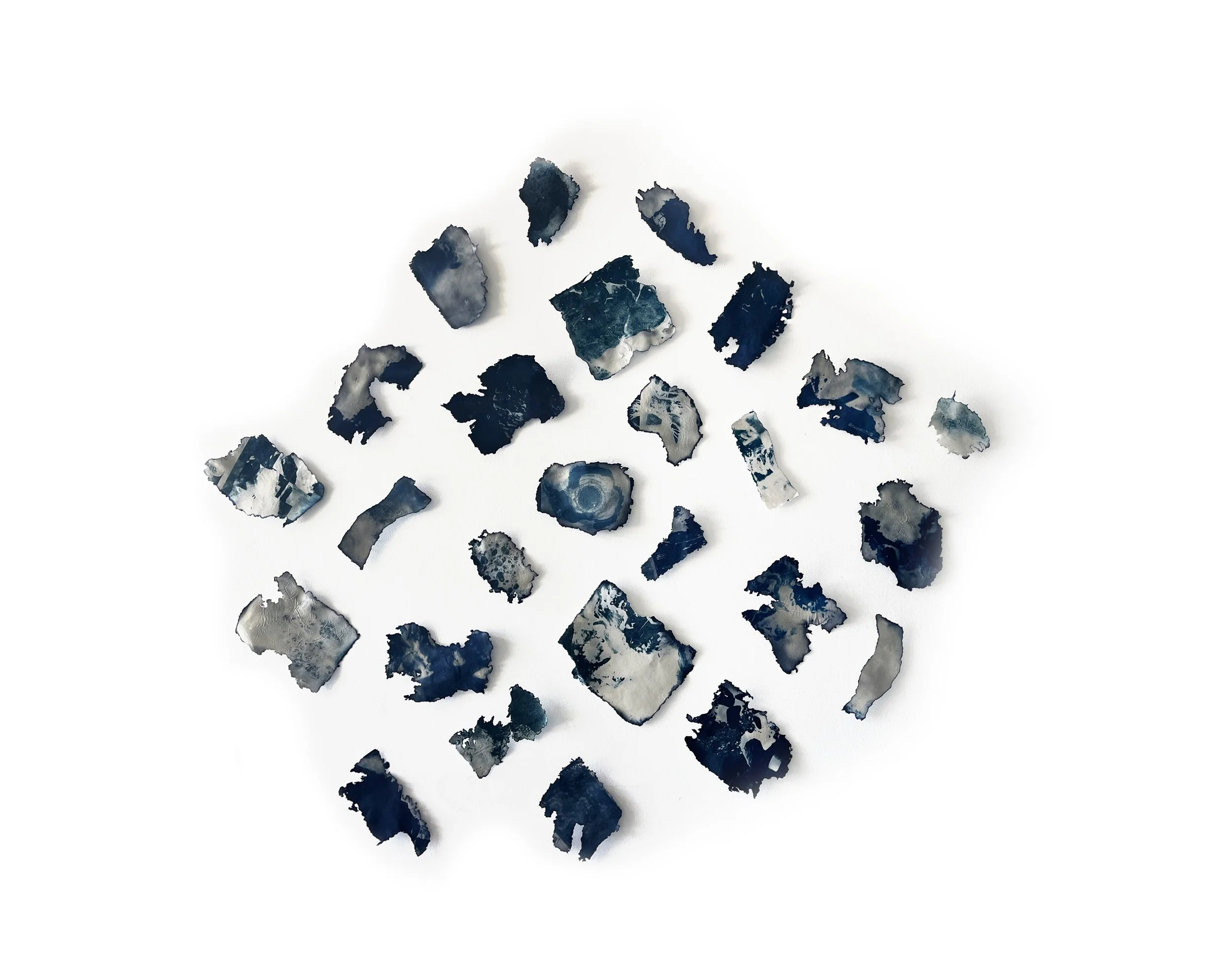
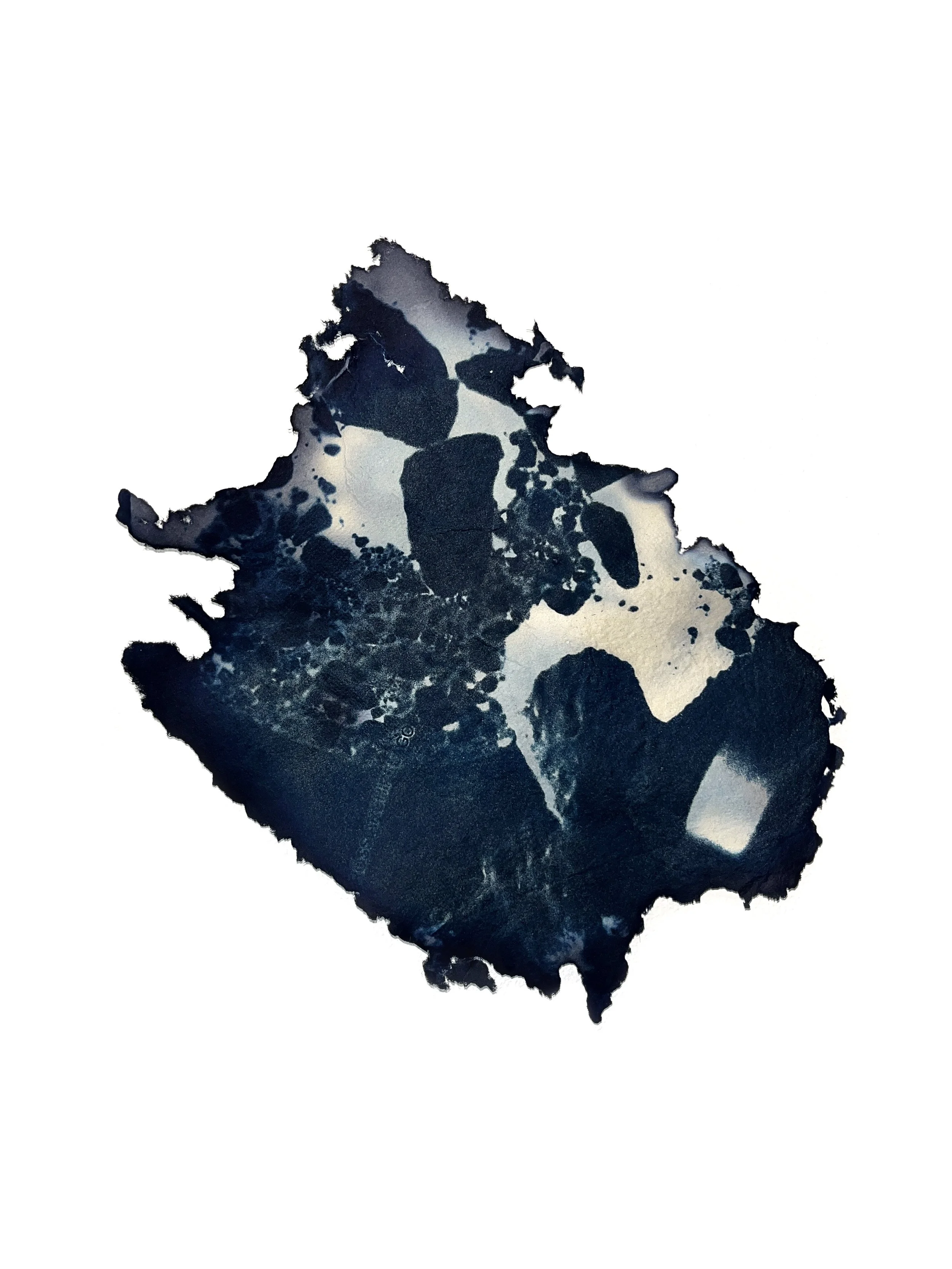
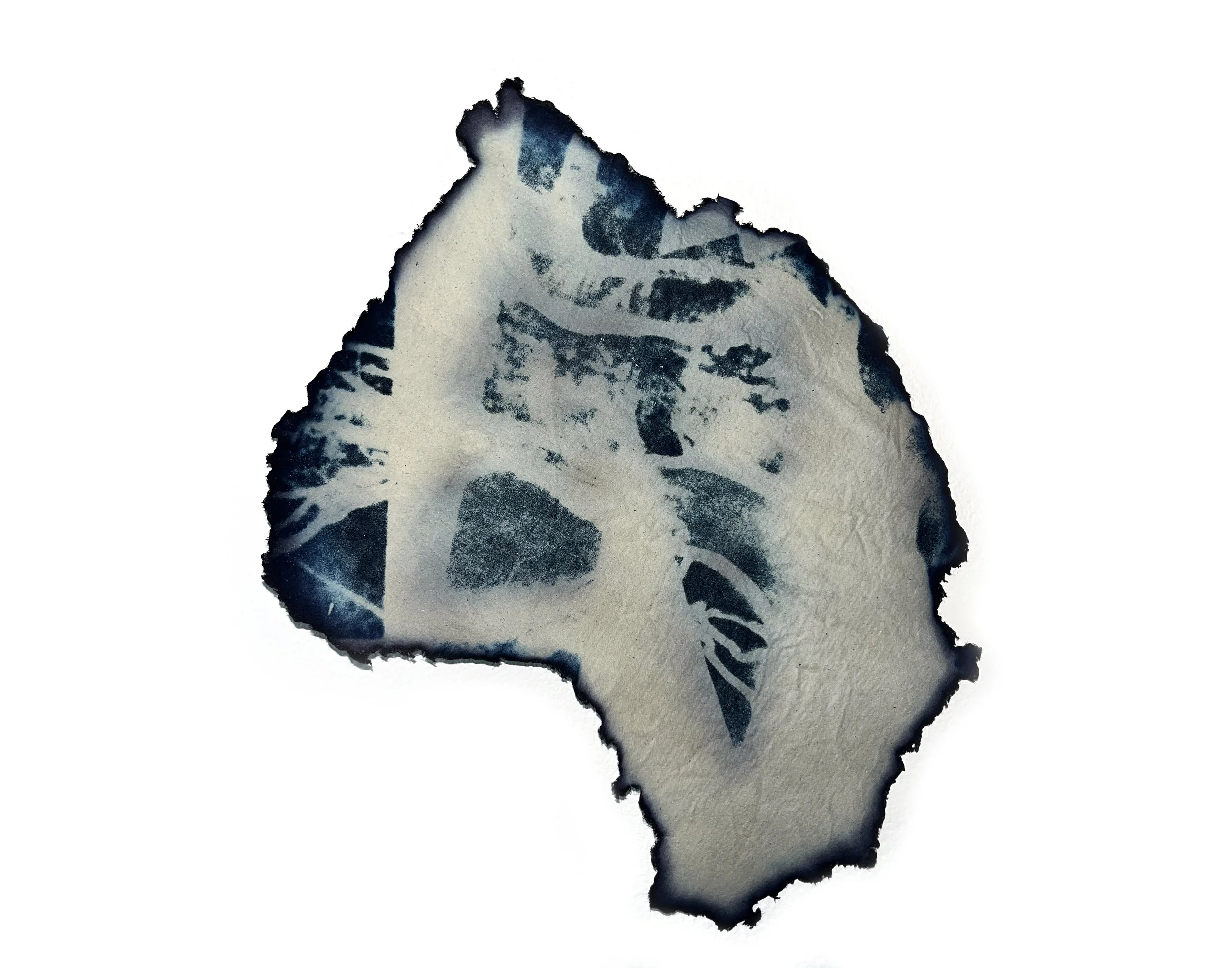
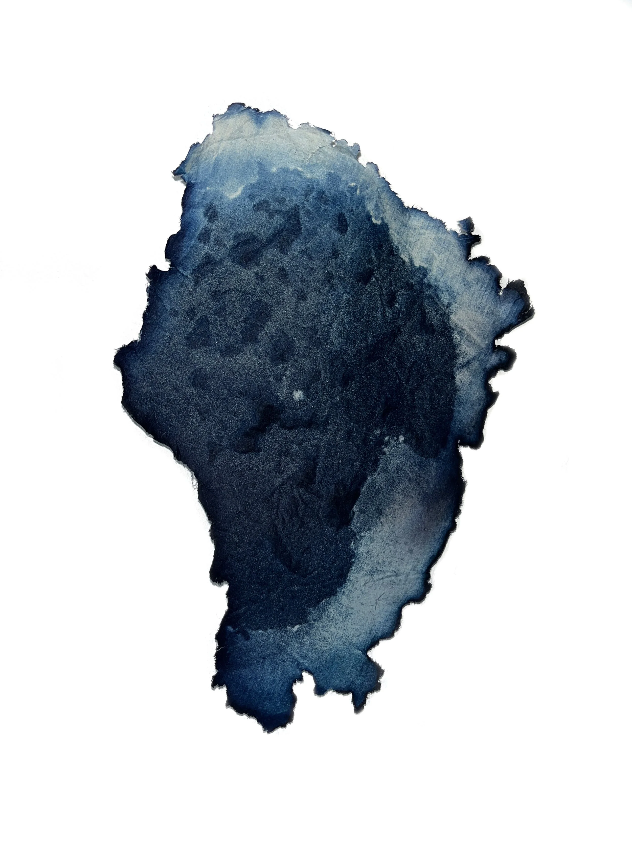
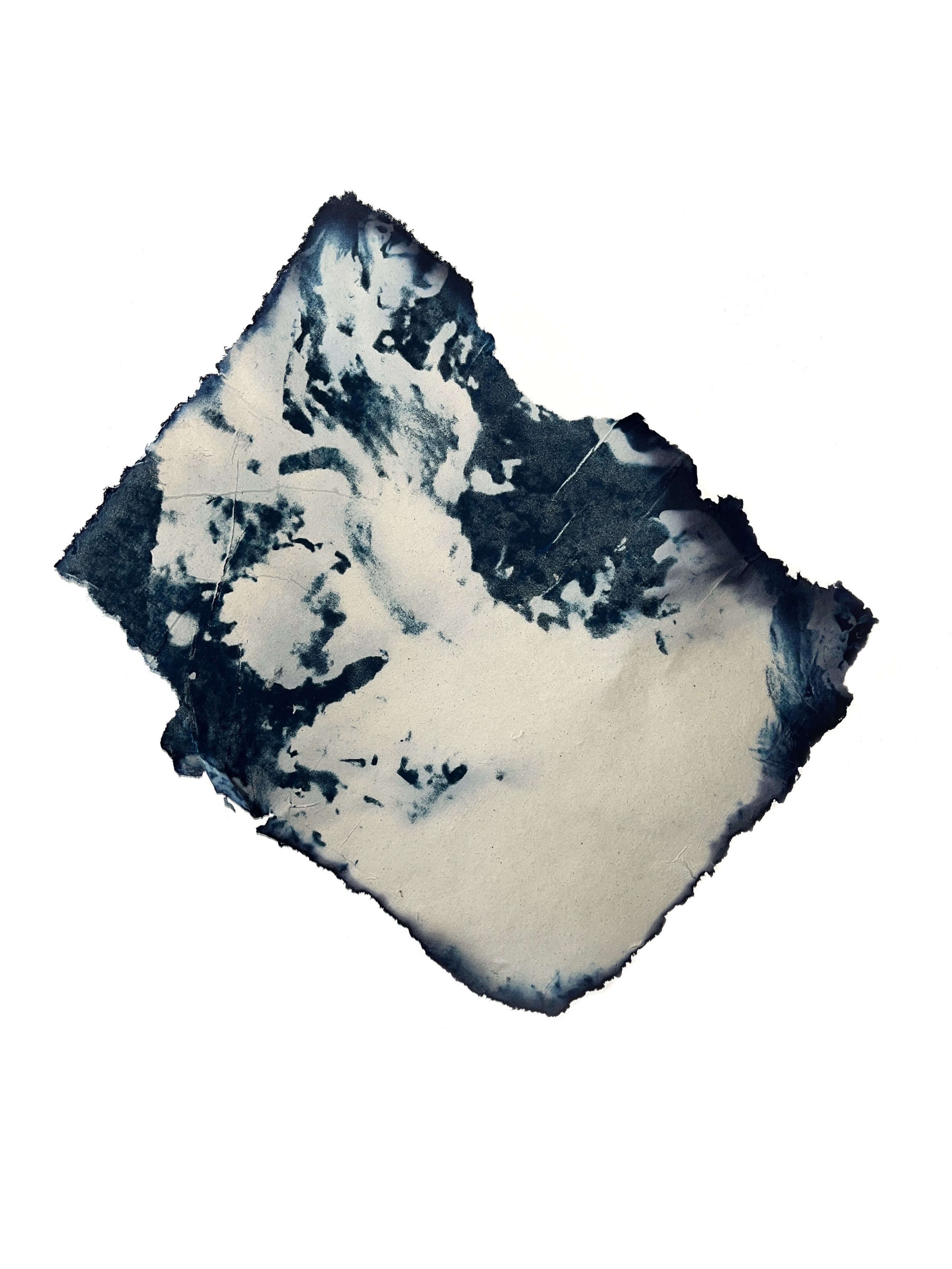
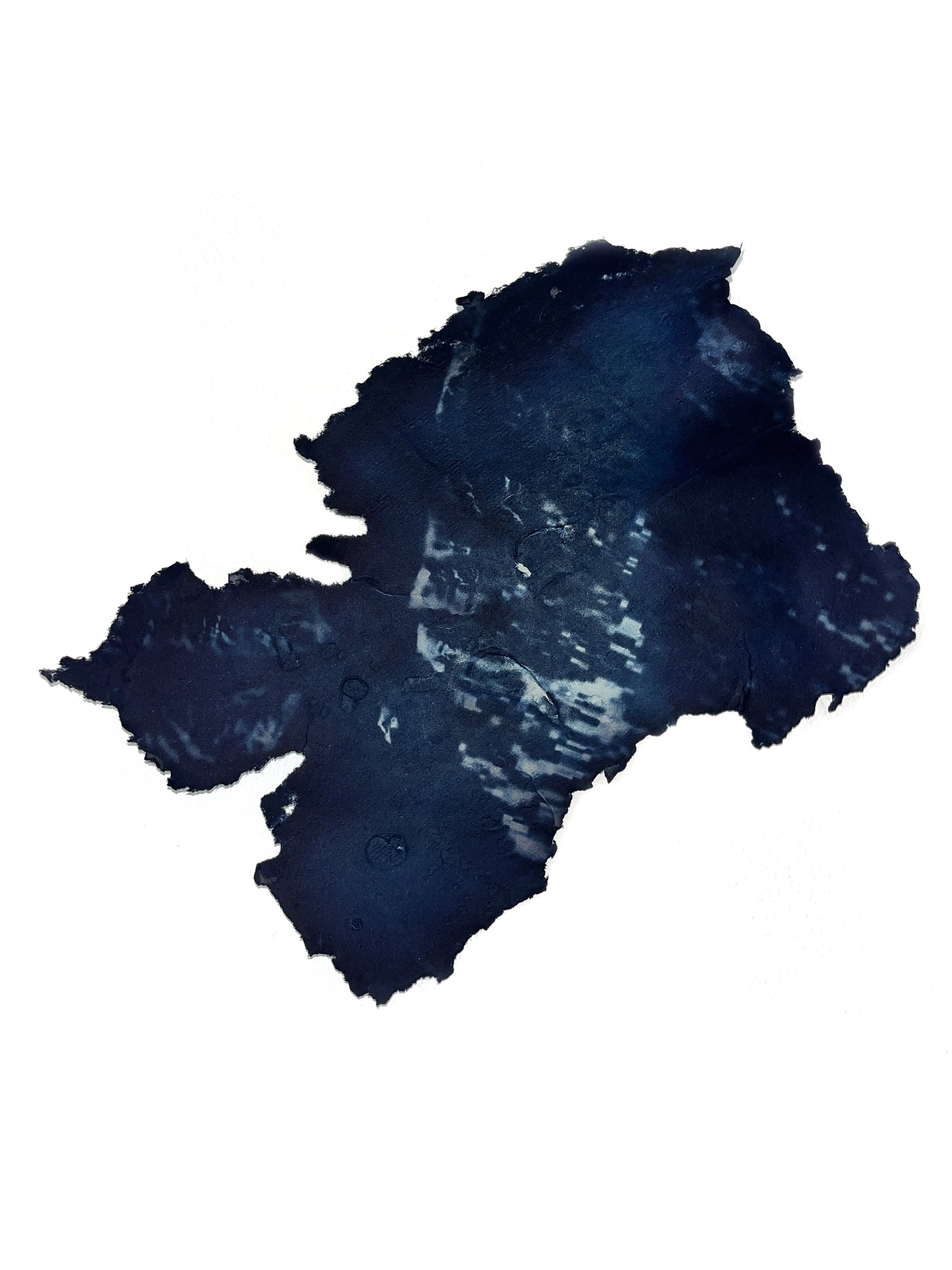
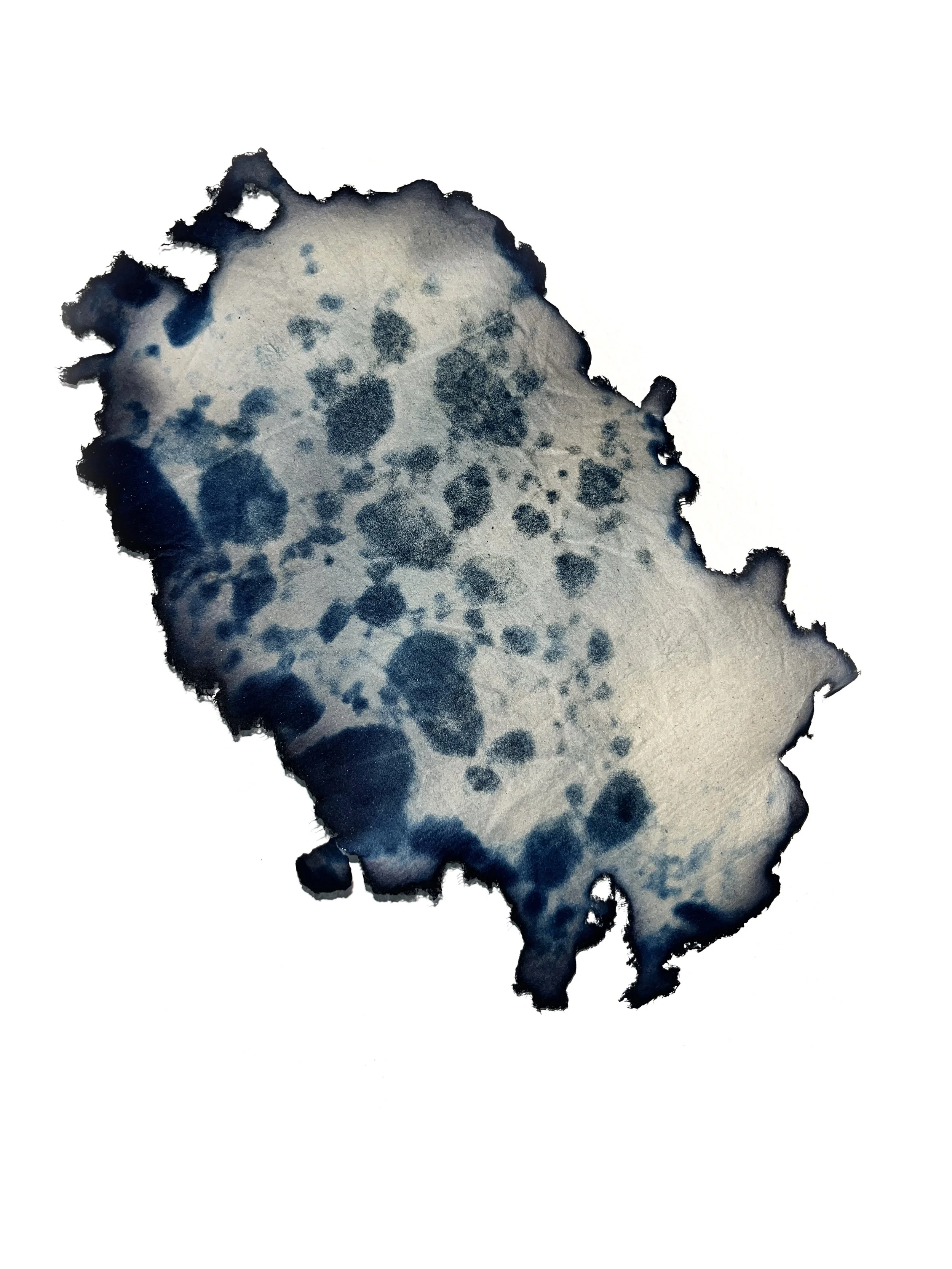
Resisting Cartography explores the historic and contemporary mapping of the Antarctic continent. Handmade paper is crafted from over eighty maps of the Antarctic, primarily from the “heroic age” of imperial expedition, blended into a pulp, and then shaped and dried into papers that curve and hold texture. Cyanotypes of contemporary mapping methods, like satellite and radar, are printed onto the surface to consider the ways in which these histories are embedded in modern technologies, the lack of neutrality in mapmaking, and the few tools which enable the continent, once mythologized as Terra Australis Incognita, to be “seen” from a distance.
Resisting Cartography (Terra Australis Incognita), La Jolla, CA, 2025. Cyanotypes on paper made from the pulp of over eighty maps of Antarctica, varying in size.